
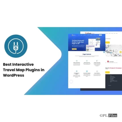
MapSVG Interactive Vector
Turn Any Image Into an Interactive Map
Choose from more than a hundred available vector maps. Create a unique map or floorplan in the vector graphics programme of your choice, and then add interactivity with our WordPress plugin. Remove those tedious maps off your site. It’s time for you to add interactive maps to your website.
Extend the Google Maps Functionality With the Powerful Features of Mapsvg
Integrate Google Maps with Vector Maps. You can give your Google Maps a makeover by importing one of the thousands of map styles available at SnazzyMaps into our WordPress map plugin and then using it to make stunning maps for your site’s users.
Use the huge SnazzyMaps database to your advantage. Enhance the visual appeal of Google Maps on your website by selecting a style from among several thousand options.
Add an Interactive Overlay on Google Map
- Create a vector artwork with Inkscape, Adobe Illustrator, or another programme and then place it on top of a Google Map.
- One way to make a certain feature of your map stand out to visitors is to superimpose a custom vector on top of Google Maps.
Add Interactivity to a Jpeg/png Image
- A jpeg or png image can have interactive sections drawn on it using the MapSVG drawing tools. Build a real estate website with professional-looking maps in minutes using our WordPress mapping plugin.
- Take a look at your real estate website as a potential buyer might. Your chances of making a sale will increase if you provide them with an interactive map that clarifies the benefits of your product.
Add your own content
Whether you’re looking to track people, places, events, properties, or anything else, our WordPress map plugin has you covered. Load a CSV file containing a lot of data. The front-end presentation of your material can be customised with the help of in-built template and CSS editors.
Attach Objects to Map Regions
There can be one or multiple associated objects to a map region. When the user clicks a certain area, a drop-down menu of all associated objects should appear.
Show Locations on the Map
Putting up markers for addresses or coordinates is as easy as typing them in.
Show a List of Objects With Filters
Incorporate a filtered, text-searchable list of nearby objects into your map’s vicinity.
Features
Vector maps
Turn any vector file into an interactive map
Google maps
Use plain Google Maps or with added vector overlays.
Image maps
Add interactivity to any raster image.
Statistics, data visualization
Color parts of a country or state with different colors depending on your data.
Custom objects
Create any kind of object and show them on your map.
Custom fields
Text, textarea, image, select, multiselect, radio, checkbox, date, wp-post
Image uploader
Attach images to objects and map regions. Different image sizes are created automatically: thumbnail, medium, full.
CSV import
Import large data sets from a CSV file.
Pagination
Split the data loaded to your map into pages.
Markers
Add location markers simply by entering an address. Upload your own marker images.
Marker clusters
Show 1000 markers all at once without pagination.
Directory
Show a list of custom objects or map regions near your map.
Filters
Add filters by custom fields, filter by distance.
Text search
Do a text search by any field.
Templates
Full control of your content’s look on the front-end.
Event handlers
Extend the functionality with your own JS code by using MapSVG API.
CSS editor
Fine-tune map styles in the built-in CSS editor.
Mobile friendly
The map layout automatically changes on mobile devices.


Reviews
There are no reviews yet.